Working in 3D using digital elevation models
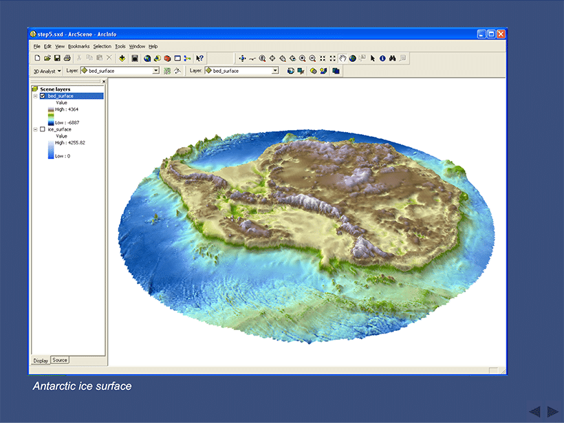
ArcScene software is not normally used in schools and is an extension to the ArcGIS package. The example investigates ice elevation and bed elevation data in Antarctica.
Ice elevation and bed elevation data in Antarctica
The data used is Raster data, the cells have attributes, in this case a height value, and information about where they are in the world. The PowerPoint can be used to demonstrate software not normally available in schools and to investigate the underlying relief of Antarctica.


