
Geographic Information Systems (GIS)
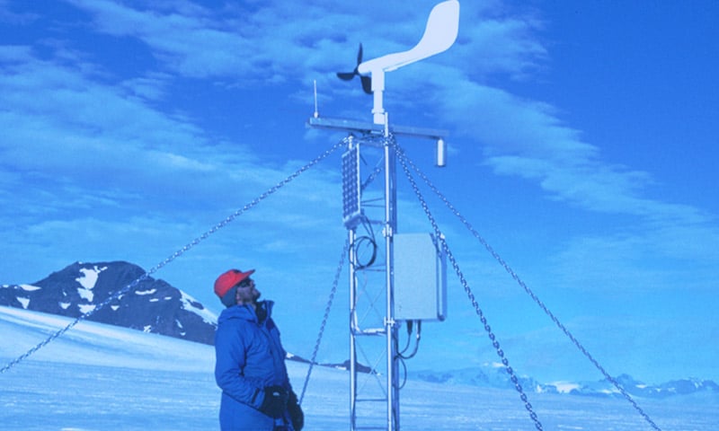
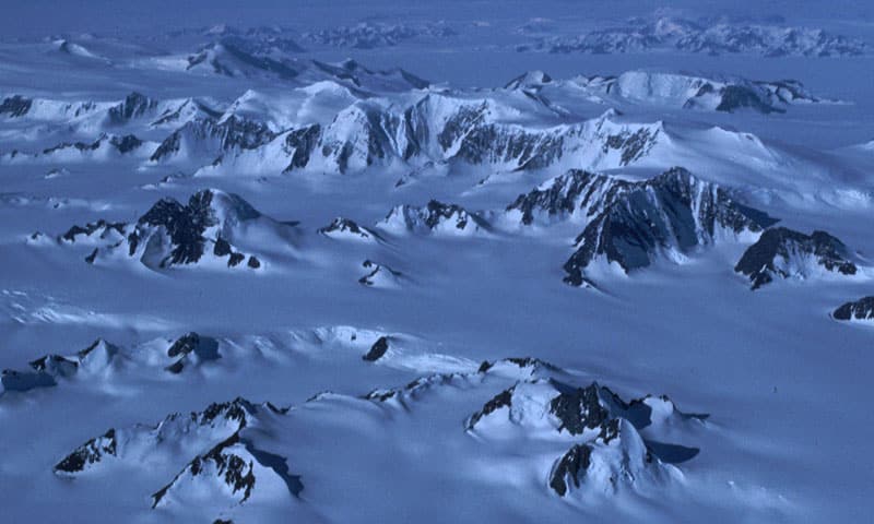
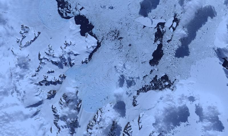
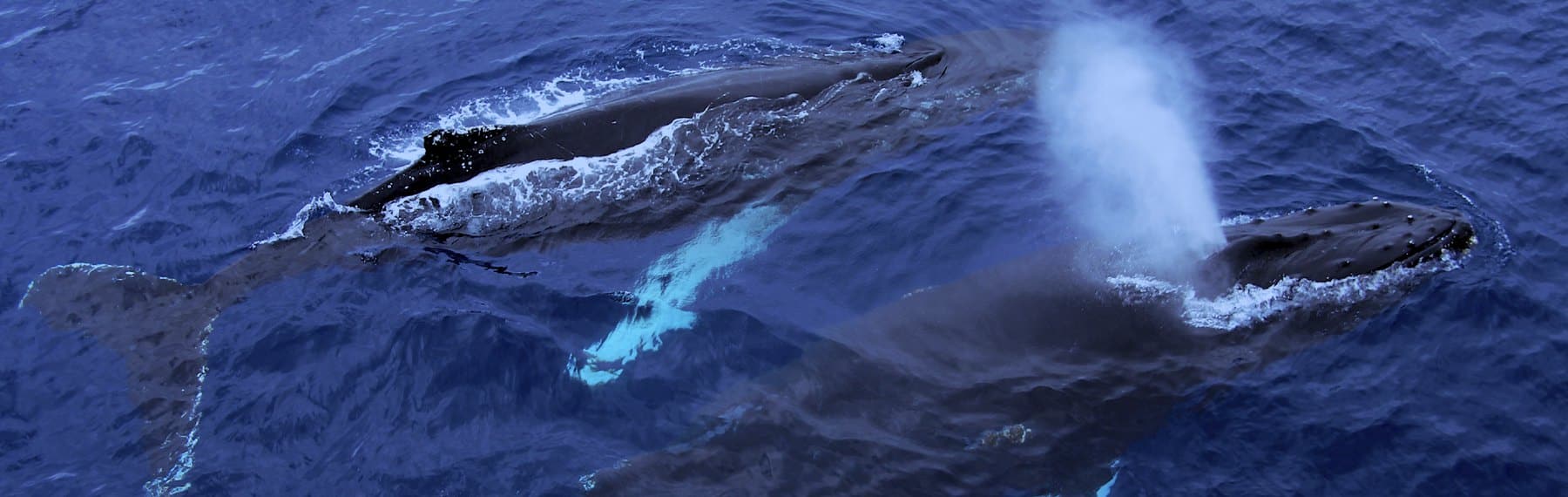
The Antarctic is a key component of the Earth‘s natural system. The British Antarctic Survey‘s science programme Polar Science for Planet Earth seeks to understand this role through a research programme including terrestrial and marine biology, glaciology, geology, geophysics, metrology, oceanography and atmospheric science.
Conductivity, temperature and depth device
This CTD (Conductivity, Temperature, Depth) device is used to gather data about the ocean. It can be used to establish the salinity (saltiness) of the ocean and help scientists understand the physics of the ocean and how it is changing.